TransPennine and Avanti halt northern rail as Storm Boelo arrives
Rail operators are advising against travel as the second named storm of the season brings 80mph gusts to Scotland and northern England.
By Kenji Garnier ·
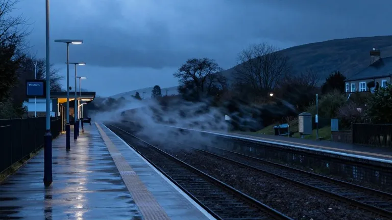
TransPennine Express and Avanti West Coast have suspended or strongly advised against rail travel across northern Britain as Storm Boelo approaches. The disruption coincides with a Met Office amber warning for high winds that covers Scotland and the north of England down to Carlisle. The warning is in effect from 9pm on Saturday through 9pm on Sunday.
The second named storm of the season is forecast to produce gusts exceeding 80mph and frequent heavy showers. It follows immediately after Storm Austen, which hit the southwest of England on Friday and is now moving east. Met Office meteorologist Alex Burkill stated that the winds are the primary concern, noting they will whip across Northern Ireland, northern England, and Scotland, with strength increasing toward the evening.
The weather system has the potential to replicate the power outages seen during the previous storm. On Friday, 31,000 homes in the southwest lost electricity at peak impact. By Saturday morning, the National Grid map showed more than 3,700 homes still without power. The Met Office has cautioned that similar cuts are likely across the amber warning areas in the north.
A broader yellow warning for very wet and windy conditions spans the entire UK north from midday Saturday to 9pm Sunday. A separate heavy rain warning applies to Wales and parts of western and southern England from 11am to 11pm on Saturday. The forecaster has urged the public to remain indoors due to the danger of flying debris and crashing waves, which can pose a risk to life.
Prime Minister Andy Burnham addressed the growing frequency of such events on Friday during a summit on the summer's record wildfires. He warned that the UK could face a winter of greater flooding and described the current climate as a world where unexpected events are becoming more common. He denied that the government was playing catch-up on civil preparedness.
The storms arrive after the UK recorded its hottest summer on file, characterized by five heatwaves and a record 40 days above 30C. Climate scientists note that human-driven changes continue to reshape rainfall patterns globally. Despite temperatures being slightly above the seasonal average during Boelo, the wind and rain are expected to make conditions feel unpleasant, marking a sharp contrast to the dry conditions that dominated the early autumn.
Boelo's winds are expected to peak from Saturday evening. The wet weather should clear overnight in many areas, though rain will persist in Scotland and Northern Ireland. The arrival of this second storm highlights the rapid succession of severe weather systems impacting the UK this season.
Source: The Guardian