Extreme El Niño drives historic flooding in the Southwest
Scientists say a record-breaking warming cycle is boosting moisture and shifting winds, making severe storms more likely through the winter.
By Omar Bennett ·
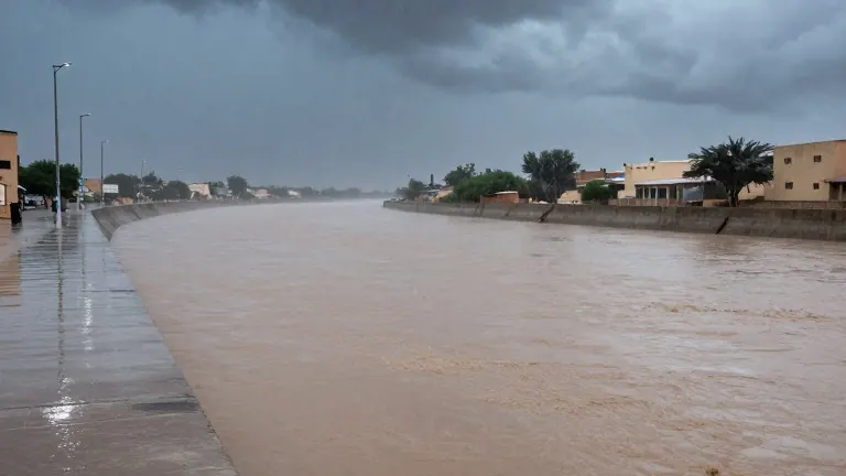
More than 20 trillion gallons of water have fallen on the Four Corners states and Nevada in the past two weeks, according to calculations by Ryan Maue, a former chief scientist at the National Oceanic and Atmospheric Administration.
Meteorologists attribute this surge in precipitation to an exceptionally strong El Niño event. This natural climate cycle warms Pacific Ocean waters, releasing moisture into the atmosphere that fuels storms. While such events occur irregularly every few years, experts describe the current iteration as particularly extreme. Jeff Masters, a meteorologist with Yale Climate Connections, called it a super duper El Niño.
The warming cycle is not the sole cause of recent severe weather, and scientists note it is difficult to link any single storm directly to the phenomenon. However, they agree that the supercharged El Niño increases the likelihood and intensity of heavy rains across the southern United States. Desert regions in the Southwest feel these effects more acutely because the dry land absorbs water poorly, leading to rapid runoff.
Flash floods on Sunday forced evacuations in northern New Mexico and central Arizona. In Colorado, a ski town prepared for its main river to rise to dangerous levels. This follows a storm system last week that brought days of flooding to southwestern states.
Daniel Swain, a climate scientist with the University of California Agriculture and Natural Resources, stated that while big precipitation is possible in the Southwest interior at this time of year, the current degree of rainfall is unusual. He noted that the El Niño is pushing warmer waters into new areas. Because human-caused climate change has already raised global ocean temperatures, these warmer baselines make the El Niño conditions even more intense.
Randy Cerveny, a meteorologist at Arizona State University, explained that the warmer ocean temperatures compared to 100 years ago amplify the El Niño situation. The shifting wind patterns are also redirecting strong air currents toward the Southwest, stirring up the added moisture. This global shift in weather patterns is causing record-breaking flooding in Peru and Ecuador, while parts of Southeast Asia, including Indonesia, are experiencing drier than usual conditions.
Experts expect the El Niño to peak in December. At that point, it may more strongly influence jet streams, producing more extreme storms across the western United States. Park Williams, a researcher at UC San Diego’s Scripps Institution of Oceanography, said the dice are loaded for more heavy storms this winter and spring. The onslaught could continue for months after the peak.
Cerveny noted that the event is not wholly negative, as it brings much-needed moisture to drier areas and helps fill reservoirs. Nevertheless, the storms pose dangers to people and property. He emphasized that the Pacific Ocean heating has not yet reached its peak, meaning more of these specific weather events are expected.
Source: Daily Breeze